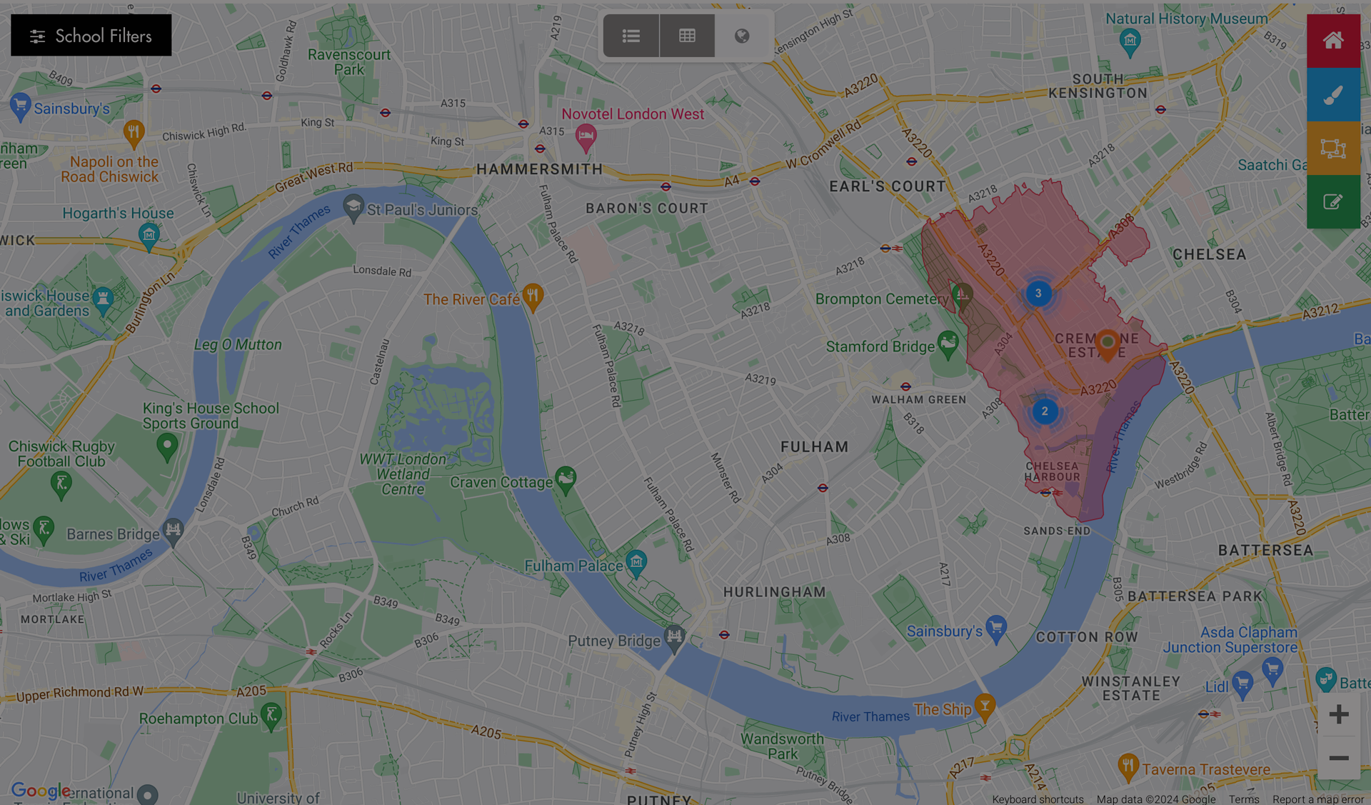
Our innovative Polygon Mapping technology uses advanced geospatial systems to deliver highly accurate, detailed digital maps — perfect for defining precise search areas for buyers and vendors. Powered by official GPS coordinates, the software represents boundaries as polygons rather than simple lines, ensuring total accuracy and professional-grade precision.
Each polygon is digitally drawn and verified to match real geographical data, allowing your website to display property information that aligns perfectly with true local boundaries. This means your buyers can search by specific regions, towns, postcodes, or districts — while vendors see their area presented with clarity and detail.
We’ve created bespoke polygon datasets for every county, region, city, town, postcode, and postcode district across the U.K. These comprehensive mapping layers give your agency the power to present property data visually in a way that’s clear, engaging, and highly professional.
Ideal for property websites, market analysis tools, and search interfaces, this technology ensures your platform not only looks sophisticated but also provides an accurate and intuitive user experience. With Agentech’s Polygon Mapping system, you can transform complex data into interactive, visual insights that keep your audience engaged and informed.
